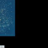
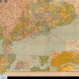
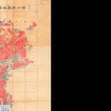
地圖名稱:United States1.Atlantic and Gulf Coasts 2.Pacific Coast 3.Alaska 4.Great Lakes 5.Bathymetric and Fishing Maps

推薦分享
資源連結
連結到原始資料 (您即將開啟新視窗離開本站)後設資料
- 資料識別:
- 資料識別碼:map_moi2_15moi00029
- 資料類型:
- 靜態圖像
- 主題與關鍵字:
- 地圖
- 描述:
- 比例尺:詳見各圖
- 出版者:
- 數位化執行單位:中央研究院人文社會科學研究中心
- 貢獻者:
- 原件典藏機構:內政部地政司方域科
- 格式:
- 原件尺寸:1.150x51cm 2.136x51cm 3.136x51cm 4.106x51cm 5.136x51cm
- 來源:
- 原件典藏箱號:十五
- 管理權:
- 數位化執行單位:中央研究院人文社會科學研究中心
授權聯絡窗口
- 邱沂翎小姐
02-27857108 轉110
mapapply@gate.sinica.edu.tw