"\\\"(其後字詞)無法查詢, 因為 聯合目錄 的查詢上限是256個字。
符合的藏品
共找到 50000 筆符合的資料

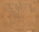
地圖名稱:官橋(b)
地圖 數位化執行單位:中央研究院人文社會科學研究中心 原件尺寸:58.2 * 47.1 (cm) 靜態圖像 編繪者:湖北陸軍測量局 數位化執行單位:中央研究院人文社會科學研究中心 地圖名稱:官橋(b.....more
- 76/50000
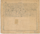
地圖名稱:新犢橋鎮961380
資料識別碼:B-3584-0021-20_t037(b) 地圖 原件尺寸:70.7*58.9cm 出版日期年代:中華民國二十八年 十月 地區分類:B01013 江蘇省 比例尺:1:25000 圖冊名.....more
- 80/50000

地圖名稱:761.1769_8_B
地區分類-大類:B01 中國大陸 資料識別碼:map_401_HB-13_N_01_B 出版者:未登載 測量手簿及計算表 內容頁數:共43頁 原件典藏箱號:B-13 地圖名稱:761.1769_8.....more
- 81/50000

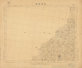
地圖名稱:B.M.9774(二水)陸檢005...
地區分類-大類:A01 臺灣地區 資料識別碼:map_401_HB-4_282 出版者:聯勤測量隊 測量手簿及計算表 內容頁數:共4頁 原件典藏箱號:B-04 地圖名稱:B.M.9774(二水)陸檢.....more
- 82/50000

地圖名稱:B.M.9783 B.M.9847標石...
地區分類-大類:A01 臺灣地區 資料識別碼:map_401_HB-4_288 出版者:聯勤測量隊 測量手簿及計算表 內容頁數:共3頁 原件典藏箱號:B-04 地圖名稱:B.M.9783 B.M.....more
- 83/50000
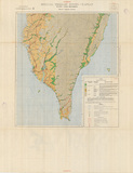
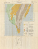
地圖名稱:Plate I Land movement...
心 地圖名稱:Plate I Land movement(sheet b-Southern Taiwan) 比例尺:1/250000 資料識別碼:B-4492-0662-12_t001-2 .....more
- 84/50000
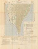
地圖名稱:Plate IV Drainage,wat...
心 地圖名稱:Plate IV Drainage,water resources,and climate(sheet b-Southern Taiwan) 比例尺:1/250000 資料識別碼:B.....more
- 85/50000
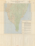
地圖名稱:Plate III Vegetation,...
心 地圖名稱:Plate III Vegetation,concealment,and cover (sheet b-Southern Taiwan) 比例尺:1/250000 資料識別碼:B.....more
- 86/50000
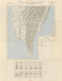
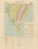
地圖名稱:Plate II Water and ai...
心 地圖名稱:Plate II Water and air movement (sheet b-Southern Taiwan) 比例尺:1/250000 資料識別碼:B-4492-0662-12.....more
- 87/50000
地圖名稱:Plate V Engineer cons...
心 地圖名稱:Plate V Engineer construction(sheet b-Southern Taiwan) 比例尺:1/250000 資料識別碼:B-4492-0662-12_t005.....more
- 88/50000
地圖名稱:Plate IV Drainage,wat...
名稱:Plate IV Drainage,water resources,and climate(sheet b-Southern Taiwan) 比例尺:1/250000 資料識別碼:B-4492.....more
- 89/50000
地圖名稱:Plate V Engineer cons...
名稱:Plate V Engineer construction(sheet b-Southern Taiwan) 比例尺:1/250000 資料識別碼:B-4492-0662-3_t005-2 .....more
- 90/50000